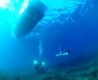
Plan Vigilancia Ambiental
2025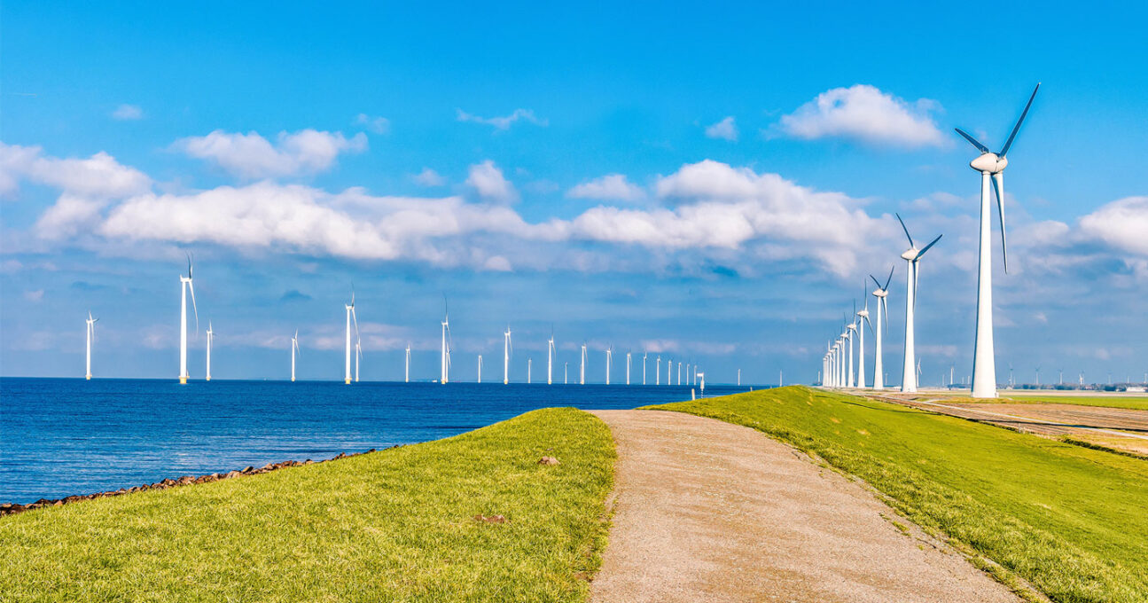
Conoce nuestros Servicios
Promoviendo la economía azul
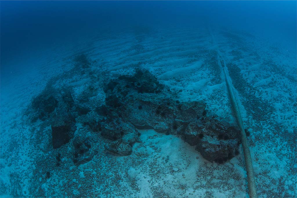
En Tecnoambiente, somos protagonistas de la economía azul, ofreciendo soluciones avanzadas en geociencias marinas y gestión sostenible de recursos oceánicos. Nuestra experiencia en adquisición y análisis de datos marinos permite a nuestros clientes desarrollar proyectos responsables que impulsan las energías renovables offshore, la electrificación y conectividad submarina, sin comprometer la salud y biodiversidad del ecosistema marino.

Acelerando la transición verde
Como aliados estratégicos en la transición verde, apoyamos a empresas e instituciones a adoptar estrategias y prácticas sostenibles. Mediante consultoría especializada, ensayos de laboratorio y control ambiental, contribuimos a reducir la huella ecológica, impulsar la transición energética, luchar contra el cambio climático y avanzar hacia una economía circular, acelerando el camino hacia un futuro más sostenible y resiliente.
Una historia de más de 40 años y de 3.000 proyectos transformadores en Europa, África y Latinoamérica

Plan Vigilancia Ambiental
2025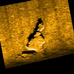
Fos Archaeological Survey Project
2025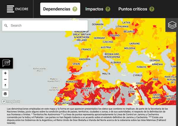
Roadmap en capital natural
2025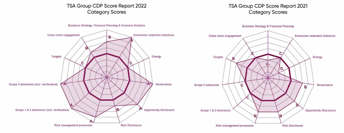
Asistencia para Reportes CDP: Clima, Agua y Bosques
2025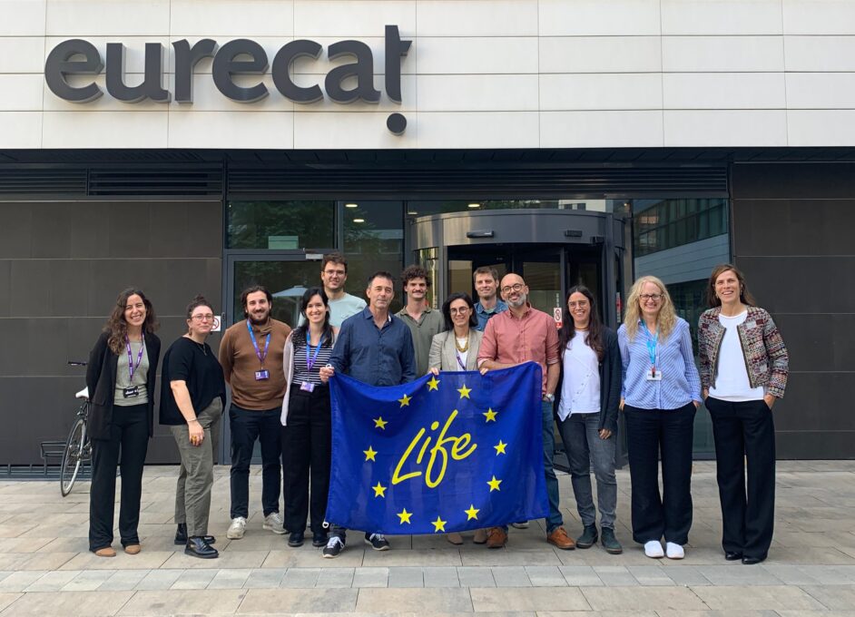
LIFE InBioSoil, an initiative turning fungi and bacteria into tools for soil restoration in Europe
25/11/2025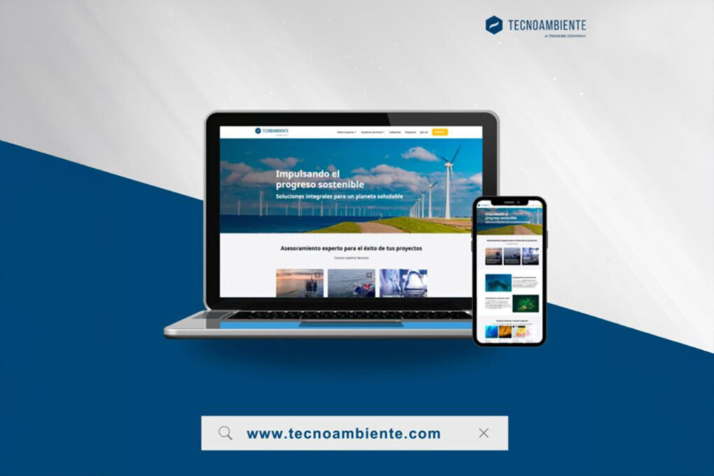
Tecnoambiente estrena web renovada, reflejando su crecimiento y fortaleciendo su presencia digital
18/11/2025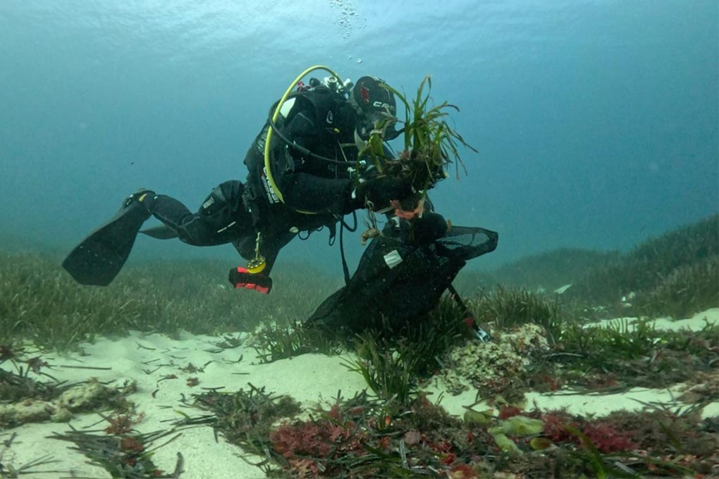
PortsIB invierte más de 100.000 euros en restaurar la posidonia del puerto de Fornells
22/10/2025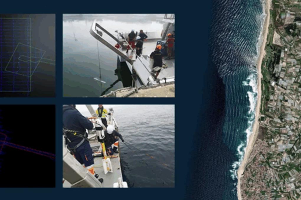
La investigación geofísica desbloquea el proyecto de energía de olas de 10 MW en Portugal
18/09/2025